


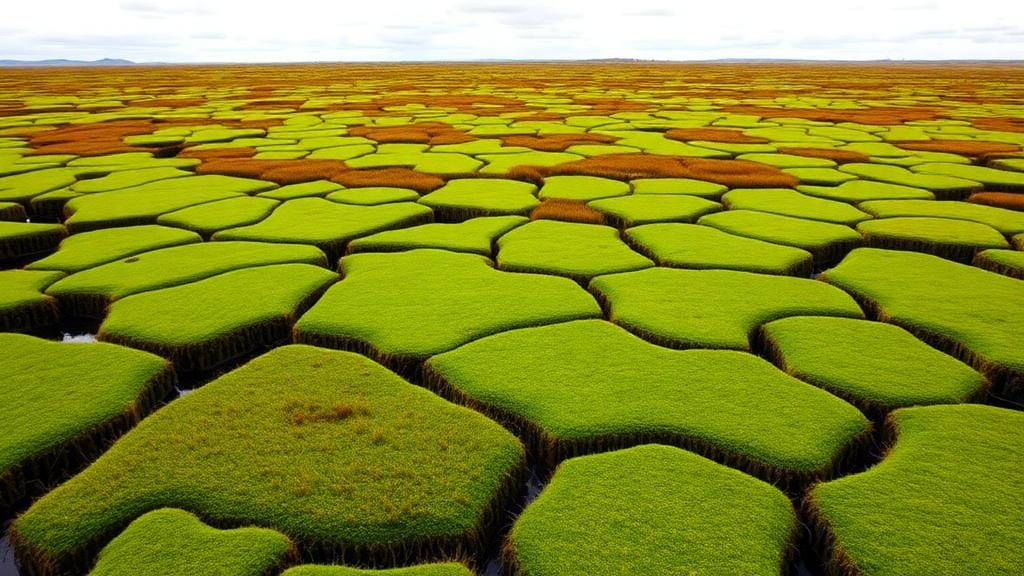
In the blanket-bog heartlands of northwest County Mayo, Ireland, a team of researchers has produced one of the most detailed connectivity maps ever attempted for a peatland-dominated landscape, offering a template for how Europe might meet its most ambitious restoration commitments. The study, published in Environmental Management by Colin Guilfoyle of Atlantic Technological University and colleagues, including Elvira de Eyto of the Marine Institute, Conor T. Graham and Heather T. Lally, set out to build a Green Infrastructure network for a region where centuries of peat extraction, afforestation, grazing and drainage have splintered once-contiguous wetlands into isolated fragments. It is the first time such an approach has been applied in this environmental context, and its findings arrive at a politically charged moment: the EU Nature Restoration Law now imposes legally binding targets to restore degraded ecosystems across the bloc by 2050, and member states are scrambling to decide where scarce restoration funding will achieve the most.
Green Infrastructure, a concept that has moved from planning jargon to the centre of European conservation policy, describes interconnected networks of natural and semi-natural areas that together supply multiple ecosystem services while allowing species to move across the landscape. Rather than treating every habitat patch as equally valuable, the framework asks planners to identify the cores that matter most, the corridors that link them, and the weak points where the whole network could fail. The Mayo study operationalised this idea with unusual rigour, combining two strands of evidence that are often used separately: the supply of ecosystem services across the landscape, and the movement requirements of focal species whose ecologies represent the connectivity needs of broader communities. By merging these perspectives, the researchers sought a network that would be both functionally valuable to people and permeable to wildlife.
The technical machinery behind the analysis centred on the Linkage Mapper toolkit, a widely used suite of connectivity modelling software developed for conservation applications and grounded in circuit theory. Circuit theory treats animal movement through a landscape as the flow of electrical current through a resistive surface: high-quality habitat conducts movement easily, while hostile land cover imposes resistance. This approach has an advantage over simple least-cost path models because it captures omnidirectional movement and identifies not just single optimal routes but the full range of pathways animals are likely to use. The team built resistance surfaces for their focal species, drawing on habitat suitability data and expert knowledge to parameterise how different land covers impede or facilitate dispersal, and then modelled corridors connecting the strongest habitat cores.
The headline result is striking in its scale. Core areas within the identified Green Infrastructure network covered 87,315 hectares, roughly 34 percent of the entire study area, and connectivity between these cores was generally good, a sign that the region retains a functional ecological skeleton despite decades of fragmentation. That figure underscores both the opportunity and the urgency. A third of a landscape still functioning as connected natural infrastructure is a substantial asset; the same statistic is a reminder that two-thirds of the area now delivers reduced ecological value. For a country where peatlands store vast quantities of carbon, regulate water flows and support specialised biodiversity found almost nowhere else, protecting that skeleton is arguably the cheapest climate and nature investment available.
But the study’s most actionable contributions lie in its diagnosis of where the network is weakest. Using the Pinchpoint Mapper component of the toolkit, the researchers identified pinchpoints: narrow constrictions in the network where connectivity funnels through small areas, meaning that the loss of even a modest patch of habitat could sever movement between large cores. Using the Barrier Mapper, they located barriers, stretches of resistant land cover whose removal or restoration would yield the greatest gains in connectivity. The main barriers to movement for the focal species turned out to be conifer plantations, degraded peatland and marine water, a list that reads like an audit of Ireland’s land-use history. Commercial afforestation on peat soils, in particular, emerges as a self-inflicted wound: plantations established decades ago now function as ecological walls across the bog landscape.
Crucially, the researchers overlaid the pinchpoint and barrier maps to find where constrictions and obstacles coincided, producing a shortlist of priority areas for ecological restoration. These overlap zones represent the highest-leverage targets: places where a single intervention, such as forest-to-bog restoration or the rewetting of drained peat, could simultaneously widen a bottleneck and dismantle a barrier. In an era of limited restoration budgets, that kind of spatial prioritisation is exactly what the EU Nature Restoration Law demands, since the regulation requires member states to draw up national restoration plans with quantified targets rather than vague aspirations. The Mayo framework offers a replicable method for generating those plans from the ground up.
The choice of focal species deserves attention, because it is where much of the study’s scientific craft resides. Connectivity modelling is only as good as the assumptions embedded in its resistance surfaces, and the team leaned on both empirical data and structured expert knowledge to characterise how species such as the Irish hare, red grouse and large heath butterfly, all strongly associated with peatland and upland habitats, perceive and move through the landscape. The Irish hare, a distinctive endemic subspecies, and the large heath butterfly, a peatland specialist whose populations collapse when bogs degrade, embody different dispersal scales and habitat needs, so a network that works for both is likely to serve a wide swathe of the regional biota. This umbrella-species logic, in which protecting the movement needs of a few well-chosen organisms shelters many others, is well established in theory but rarely executed with this degree of regional specificity.
The ecosystem services strand of the analysis adds a second dimension that pure biodiversity mapping often lacks. Peatlands deliver an extraordinary portfolio of services: carbon sequestration and storage in waterlogged peat, water regulation and filtration for downstream catchments, and cultural values tied to one of Europe’s most evocative landscapes. By mapping where these services are supplied and weighting core area selection accordingly, the researchers ensured that the Green Infrastructure network is not merely a wildlife corridor plan but a statement about natural capital. This dual framing matters politically. Restoration proposals that can demonstrate benefits for carbon targets, flood management and biodiversity simultaneously are far more likely to survive the competing demands of agriculture, forestry and energy development that shape rural land use in western Ireland.
There are, of course, limits to what any model can promise. Connectivity surfaces built from land cover data and expert elicitation are hypotheses about animal movement, not measurements of it, and the authors’ data availability statement indicates the underlying layers can be requested for scrutiny and refinement. Validation against real dispersal data, telemetry studies and genetic connectivity analyses remains the gold standard, and the modelling literature itself stresses that different resistance surfaces and algorithms can yield divergent corridor maps. The Mayo team mitigates these risks by combining multiple evidence streams and by framing the outputs as prioritisation tools rather than prescriptions. Even so, the approach will need to be revisited as restoration proceeds, because a landscape in active recovery is a moving target: every rewetted bog and felled plantation changes the resistance surface underneath the model.
What makes the study resonate beyond Mayo is its timing and its transferability. Across Europe, from the Flow Country of Scotland to the raised bogs of the Baltic states, degraded peatlands are recognised as among the highest-priority ecosystems for restoration, both for their carbon dividends and for the specialist species they harbour. The EU Nature Restoration Law has turned that recognition into obligation, and the Irish study demonstrates a concrete, technically defensible workflow for converting obligation into maps, budgets and on-the-ground action. The message from northwest Mayo is ultimately an optimistic one: even in a landscape fragmented by plantations, drainage and extraction, the ecological skeleton remains largely intact, and the tools now exist to identify precisely which threads to repair first. Whether governments act on maps like these, and act quickly, will determine whether the 2050 restoration deadline is a milestone or a mirage.
Subject of Research: Green infrastructure mapping for peatland conservation and restoration prioritisation in northwest Ireland
Article Title: Identifying Green Infrastructure to Prioritise Conservation and Restoration in a Peatland Dominated Landscape
Article References: Guilfoyle, C., de Eyto, E., Graham, C. T., & Lally, H. T. (2026). Identifying Green Infrastructure to Prioritise Conservation and Restoration in a Peatland Dominated Landscape. Environmental Management, 76(9), Article 291. https://doi.org/10.1007/s00267-026-02607-w
Image Credits: AI Generated
DOI: 10.1007/s00267-026-02607-w
Keywords: green infrastructure, peatlands, landscape connectivity, ecosystem services, circuit theory, Linkage Mapper, EU Nature Restoration Law, habitat fragmentation, ecological restoration, Ireland, focal species, blanket bog
Cite Scienmag News
Margaret Porter. (October 3, 2026). Mapping Ireland’s Peatlands: Scientists Chart a Green Infrastructure Network for Restoration. Scienmag. https://scienmag.com/mapping-irelands-peatlands-scientists-chart-a-green-infrastructure-network-for-restoration/
Margaret Porter. "Mapping Ireland’s Peatlands: Scientists Chart a Green Infrastructure Network for Restoration." Scienmag, 3 October 2026, https://scienmag.com/mapping-irelands-peatlands-scientists-chart-a-green-infrastructure-network-for-restoration/. Accessed 3 October 2026.
Margaret Porter. "Mapping Ireland’s Peatlands: Scientists Chart a Green Infrastructure Network for Restoration." Scienmag. October 3, 2026. https://scienmag.com/mapping-irelands-peatlands-scientists-chart-a-green-infrastructure-network-for-restoration/


