


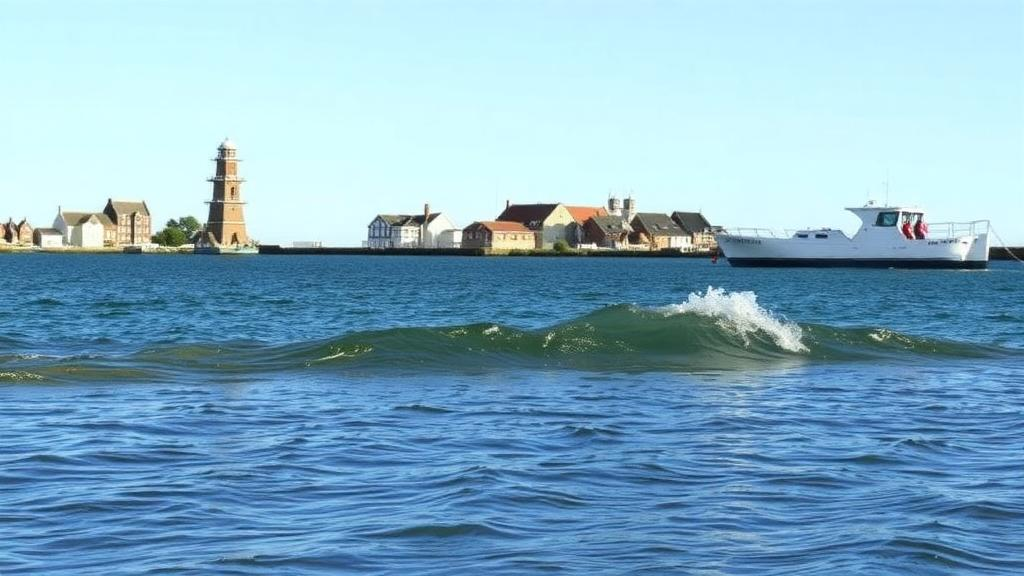
Beneath the streets of Cork, an invisible tide rises and falls twice a day. Now researchers have shown that as sea levels climb, this hidden water could push the Irish city toward a form of flooding that arrives with no waves at all: groundwater surging up through the ground itself. A new study published in Results in Engineering by Mohamad Soboh and Michael O’Shea has produced the first island-wide, process-based assessment of how tidal signals travel through the aquifer under Cork City and how rising estuarine water levels could trigger groundwater flooding across the urban landscape.
Cork City Island is a low-lying urban area of just 1.2 square kilometres, wedged between the North and South Channels of the River Lee in southwest Ireland. The city stands on land that was once a braided network of river channels and wetlands, drained and embanked during the 1700s and 1800s. Beneath the surface lies the Lee Buried Valley aquifer, a deposit of glacial gravels 20 to 50 metres thick with hydraulic conductivities between 4.4 and 4.8 thousandths of a metre per second. Because these gravels transmit water so readily, groundwater beneath the city responds almost immediately to both tidal surges and heavy fluvial discharge, making Cork an ideal natural laboratory for studying how coastal aquifers behave under tidal forcing.
The research team installed automated water-level loggers in monitoring wells across the island, recording groundwater levels at 15-minute intervals. They then applied spectral analysis, using the Fast Fourier Transform to isolate the dominant tidal constituents, and cross-correlation analysis to measure how long each pressure wave takes to travel from the river into the aquifer. The dominant signal proved to be the principal lunar semidiurnal tide, the M2 constituent, with a period of roughly 12.4 hours. Tidal efficiency, the ratio of groundwater fluctuation amplitude to the tidal amplitude in the river, ranged dramatically across the island, from a near-total 98.93 percent at well MW6 to a heavily damped 11.70 percent at well BH03, while time lags varied from just over two minutes to nearly 222 minutes.
These measurements revealed a fundamental asymmetry in how the aquifer responds. In the eastern and central sectors, groundwater is squeezed simultaneously by tidal waves from both the North and South Channels, an interference that reduces attenuation and allows elevated hydraulic heads to persist far into the aquifer interior. In the western sector, where tidal influence from the South Channel terminates at the Gillabbey weir, only the North Channel exerts tidal forcing, and the tidal signal decays steeply: from 78 percent efficiency just 22 metres from the river to under 12 percent at 300 metres. Excluding one anomalous well, the propagation delay increased linearly with distance at roughly 0.46 minutes per metre, a remarkably uniform rate that speaks to the aquifer’s overall connectivity.
To convert these observations into aquifer properties, the team applied the classical Jacob–Ferris analytical framework, which describes how a tidal pressure wave diffuses inland through a confined aquifer, losing amplitude exponentially and accumulating phase lag. Under ideal conditions, diffusivity estimated from amplitude attenuation should match diffusivity estimated from time lag. In practice, near-river wells showed large discrepancies, quantified by a slope factor that deviated sharply from unity. The culprit, the researchers argue, is riverbed clogging: a low-permeability layer at the river–aquifer interface that absorbs amplitude and delays the signal before it even enters the aquifer. By analysing well-to-well pairs instead, the team isolated the true matrix diffusivity, obtaining values of about 9.25 square metres per second in the eastern domain and 7.15 square metres per second in the west, with a lower local bound near 0.5 square metres per second.
These field-derived parameters were then fed directly into a three-dimensional transient groundwater model covering the entire island, with a computational mesh of more than 18,000 elements per layer representing the made ground, the estuarine aquitard, and the gravel aquifer. Calibration and validation against ten monitoring wells produced root mean square errors mostly below 0.15 metres, and critically, the model maintained its accuracy when applied to independent validation periods. By constraining the model’s parameter space with the analytical diffusivity range of 0.5 to 9 square metres per second, the researchers reduced the problem of parameter non-uniqueness, in which many combinations of conductivity and storage produce identical tidal responses.
The predictive scenarios reveal a strikingly nonlinear threat. Groundwater heads first exceed ground level at an estuarine stage of about 1.6 metres above Ordnance Datum, but up to 2.6 metres the flooded area remains below 7 percent of the island, confined to riverbanks and low-lying depressions. Above roughly 2.8 metres, however, isolated flooded patches begin to merge into continuous inundated zones. Between 3.4 and 3.8 metres, the flooded fraction leaps from about 25 to 28 percent up to 55 to 60 percent, with the steepest expansion occurring in that final interval. Under the extreme 4.0-metre scenario, between 66.6 and 70.6 percent of the study area could experience groundwater heads above the surface.
That 2.8-metre threshold is not a distant hypothetical. Current mean tidal levels in Cork already sit near 2.0 metres, observed maxima reach 2.6 metres, and compound events combining high tides with heavy rainfall can push stages to 3.0 to 4.0 metres. Mean sea level in Cork Harbour has already risen 41 centimetres since 1842, progressing at 2.2 millimetres per year, and global projections suggest 0.3 to 1.1 metres of additional rise by 2100. The study also found that predictive uncertainty grows with the hazard: the gap between the most and least vulnerable parameter scenarios peaks at 5.21 percent of the island’s area at the 3.8-metre stage, meaning that the very conditions that produce the worst flooding are also those where subsurface variability matters most.
The research also exposed weaknesses in previous risk zoning. Historical classifications based on discrete monitoring points had designated much of the island as having low tidal influence, yet the new continuous mapping shows that tidal efficiencies of 80 to 90 percent extend well beyond the zones where they were expected, with some wells in nominally low-influence areas recording efficiencies above 95 percent. The authors suggest that buried remnants of Cork’s historic braided river network, including culverted waterways beneath the modern street grid, may act as preferential flow paths, hydraulic superhighways that carry tidal signals deep into areas that appear disconnected from the river. Leakage through the confining aquitard and thin peat interbeds within the gravels add further complexity that point measurements alone cannot capture.
The implications stretch far beyond Cork. More than two billion people live in coastal areas, many on low-lying ground above permeable aquifers, and groundwater flooding can strike before or without any marine inundation, saturating basements, undermining foundations, and overwhelming stormwater and sewer networks from below. The integrated framework developed here, in which field-measured tidal responses constrain a numerical model whose outputs feed spatial vulnerability mapping, offers a transferable template for other estuarine cities. The researchers also validated a rapid-assessment equation that predicts groundwater levels directly from river stage, tidal efficiency, and time lag, achieving near-perfect correlation in the eastern wells, and they propose machine learning as a next step for the more complex western domain. As seas continue to rise, the study’s central message is sobering: the flood of the future may not arrive over the seawall, but quietly from the ground beneath our feet.
Subject of Research: Tidal groundwater propagation and sea-level-rise-induced groundwater flooding in a coastal urban aquifer
Article Title: Integrated assessment of tidal groundwater propagation and sea-level rise-induced groundwater flooding in a coastal urban site
Article References: Soboh, M., & O’Shea, M. (2026). Integrated assessment of tidal groundwater propagation and sea-level rise-induced groundwater flooding in a coastal urban site. Results in Engineering, 32, Article 113263. https://doi.org/10.1016/j.rineng.2026.113263
Image Credits: AI Generated
DOI: 10.1016/j.rineng.2026.113263
Keywords: groundwater flooding, sea-level rise, coastal aquifer, tidal propagation, Cork City, hydraulic diffusivity, Jacob-Ferris, numerical modelling, urban hydrogeology, River Lee, climate risk, flood vulnerability
Cite Scienmag News
Violet Maxwell. (October 2, 2026). Rising Seas Could Flood Cities From Below, Cork Groundwater Study Warns. Scienmag. https://scienmag.com/rising-seas-could-flood-cities-from-below-cork-groundwater-study-warns/
Violet Maxwell. "Rising Seas Could Flood Cities From Below, Cork Groundwater Study Warns." Scienmag, 2 October 2026, https://scienmag.com/rising-seas-could-flood-cities-from-below-cork-groundwater-study-warns/. Accessed 2 October 2026.
Violet Maxwell. "Rising Seas Could Flood Cities From Below, Cork Groundwater Study Warns." Scienmag. October 2, 2026. https://scienmag.com/rising-seas-could-flood-cities-from-below-cork-groundwater-study-warns/


