


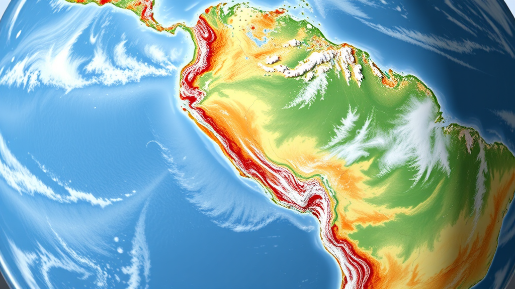
In one of the most ambitious regional climate modeling efforts ever attempted, a large international team led by researchers at the NSF National Center for Atmospheric Research has produced two 22-year computer simulations of the entire South American continent at a resolution of just 4 kilometers, fine enough to allow thunderstorms to form explicitly inside the model rather than being approximated by statistical shortcuts. The work, published in the journal Climate Dynamics, delivers the first long-term, continental-scale, convection-permitting climate dataset for South America, a region whose extraordinary diversity of climates, from the world’s wettest rainforest to the hyper-arid Atacama Desert and the glacier-fed Andes, has long challenged global climate models that operate at grid spacings of 100 kilometers or more.
The first of the two simulations is a historical reconstruction. The team took the fifth-generation European Centre for Medium-Range Weather Forecasts atmospheric reanalysis, known as ERA5, which blends observations with a global forecast model to create a physically consistent record of the recent past, and used it to drive the Weather Research and Forecasting model, or WRF, over the full South American domain for the period 2000 to 2021. Because the model grid is only 4 kilometers across, deep moist convection, the process that builds towering cumulonimbus clouds and produces intense rain, hail, and lightning, can be resolved directly by the model’s dynamics. This matters because traditional climate models must parameterize convection, and those parameterizations are a leading source of error in simulating the timing, intensity, and location of rainfall, particularly over complex terrain like the Andes and over the Amazon, where the diurnal cycle of convection is notoriously difficult to capture.
To test whether the simulation was trustworthy, the researchers validated it against a battery of independent satellite and reanalysis products covering precipitation and near-surface air temperature. The results were striking: the 4-kilometer simulation captured South America’s climate across an enormous range of scales, from the slow interannual variations tied to phenomena like the El Niño-Southern Oscillation, through the annual march of the South American monsoon, down to the hour-by-hour rhythm of afternoon thunderstorms. Crucially, the downscaling demonstrated clear added value over the original ERA5 data itself, especially at daily to sub-daily time scales and at mesoscale to local spatial scales. In other words, the fine-grid model did not merely reproduce its coarse driving data; it genuinely improved the representation of the processes that matter most for floods, droughts, agriculture, and water management.
The second simulation looks toward the end of the century using an elegant technique called the Pseudo-Global Warming, or PGW, approach. Rather than running a full coupled climate model into the future, the team kept the historical weather sequence from ERA5 but perturbed the meteorological fields with monthly climate change signals drawn from the Community Earth System Model Large Ensemble, known as LENS2. The perturbations correspond to roughly 3 degrees Celsius of global warming above preindustrial levels under the CMIP6 SSP3-7.0 emissions scenario, representative of conditions expected during the 2060 to 2080 period. The advantage of this method is that the future simulation experiences the same weather patterns as the historical one, only embedded in a warmer atmosphere, which makes differences between the two runs directly attributable to the climate change signal rather than to the chaos of natural variability.
The projections that emerge are sobering. The PGW simulation shows significant continental-scale warming, with the strongest temperature increases concentrated over the Andes, broadly consistent with the underlying LENS2 projections. This elevation-dependent warming in the Andes carries particular weight because the region’s snowpack and glaciers act as natural water towers for millions of people downstream. Indeed, the simulation projects declines in both snowfall and snowpack across the Andes, a finding that aligns with a growing body of observational evidence of shrinking snow persistence and retreating cryosphere in the region, and one with direct implications for the water supplies of cities such as Santiago, Lima, and Bogotá.
Precipitation changes prove far more spatially and seasonally complex than the temperature signal. Most regions of the continent experience either modest increases or slight decreases in total rainfall, but one region stands out: the Amazon Basin exhibits predominant drying during the austral summer, the season when the rainforest’s own convective recycling normally sustains the wet season. This projected summer drying echoes concerns raised by earlier studies about the strengthening of the Amazonian dry season and the vulnerability of the forest to a self-reinforcing cycle of drought, fire, and degradation. Because the Amazon recycles a large fraction of its own rainfall and exports moisture eastward and southward through low-level jets often described as aerial rivers, changes in the basin’s water balance can propagate far beyond its borders, affecting agriculture in the La Plata basin and beyond.
Perhaps the most robust and consequential finding concerns extremes. Across the continent, extreme precipitation intensifies in the warmer climate, consistent with the basic thermodynamic principle that a warmer atmosphere holds roughly 7 percent more water vapor per degree of warming, loading the dice toward heavier downpours even where mean rainfall changes little. For a continent already familiar with devastating floods in southeastern Brazil and Argentina, gargantuan hailstorms on the Argentine pampas, and deadly landslides in the Andean foothills, an intensification of hourly rainfall extremes represents a substantial escalation of hazard. The convection-permitting framework is especially valuable here, because it resolves the mesoscale convective systems, vast organized storm complexes that can span hundreds of kilometers, responsible for much of South America’s extreme rainfall and severe weather.
The dataset itself, dubbed SAAG, is openly available through the NCAR GDEX system and the Chilean National Laboratory HPC system, but its sheer scale presents a paradox. The raw WRF output for both the historical and future simulations amounts to approximately 2 petabytes, far too large for individual research groups to copy locally. The authors argue that establishing centralized, high-performance analysis infrastructure in South America, comparable to platforms such as the UK Met Office’s JASMIN or Germany’s Levante system, is urgently needed. Without such infrastructure, they caution, datasets of this magnitude cannot fully support the climate science, impact studies, and policymaking in the very region they describe, a gap that highlights persistent inequities in global scientific computing capacity.
For South American scientists, water managers, and policymakers, the significance of this work is difficult to overstate. The continent hosts the planet’s largest tropical forest, its driest nonpolar desert, and mountain ranges whose snow and ice sustain major river systems, all within a single modeling domain that can now be examined at storm scale over multiple decades. The simulations open the door to detailed studies of atmospheric convection, land-surface feedbacks, moisture recycling, and hydrological processes, both in the present climate and under a substantially warmer one. As the world approaches the warming levels projected in these runs, the SAAG dataset offers the most detailed window yet into how South America’s extraordinary climates, and the hundreds of millions of people who depend on them, may be transformed in the decades ahead.
Subject of Research: Convection-permitting dynamical downscaling of present and future South American climate at 4-km resolution
Article Title: Multi-decadal convection permitting dynamical downscaling of current and future climates over South America
Article References: Liu, C., Ikeda, K., Dominguez, F., Prein, A. F., Rasmussen, R. M., Zhang, Z., Xue, L., Neale, R. B., Chun, K. P., He, C., Rios-Berrios, R., Reboita, M. S., Huang, Y., Gomes, H. B., Llopart, M., Dudhia, J., Tian, Y., Scaff, L., Varble, A. C., … Gutmann, E. D. (2026). Multi-decadal convection permitting dynamical downscaling of current and future climates over South America. Climate Dynamics, 64(10), Article 435. https://doi.org/10.1007/s00382-026-08376-w
Image Credits: AI Generated
DOI: 10.1007/s00382-026-08376-w
Keywords: South America, dynamical downscaling, convection-permitting modeling, WRF model, pseudo-global warming, climate change, Amazon Basin, Andes, extreme precipitation, snowpack, ERA5, Climate Dynamics
Cite Scienmag News
Sloane Callahan. (September 26, 2026). Scientists simulate all of South America at 4-km resolution to reveal its climate future. Scienmag. https://scienmag.com/scientists-simulate-all-of-south-america-at-4-km-resolution-to-reveal-its-climate-future/
Sloane Callahan. "Scientists simulate all of South America at 4-km resolution to reveal its climate future." Scienmag, 26 September 2026, https://scienmag.com/scientists-simulate-all-of-south-america-at-4-km-resolution-to-reveal-its-climate-future/. Accessed 26 September 2026.
Sloane Callahan. "Scientists simulate all of South America at 4-km resolution to reveal its climate future." Scienmag. September 26, 2026. https://scienmag.com/scientists-simulate-all-of-south-america-at-4-km-resolution-to-reveal-its-climate-future/


