


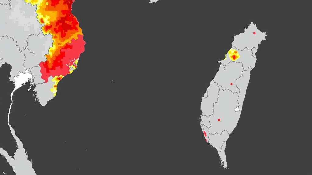
A new open-access study in the journal Natural Hazards has turned two decades of coastal monitoring data from Taitung City on Taiwan’s Pacific shore into a probabilistic early-warning system for coastal erosion. Rather than treating wave energy, sediment supply and shoreline retreat as isolated indicators, researchers Chun-Jhen Ye, Wei-Po Huang and Jui-Chan Hsu of National Taiwan Ocean University built a Bayesian network that explicitly maps the causal chains linking these factors, then used it to project how hazard risk will shift under a 2 degree Celsius global warming scenario. Their results point to a striking polarization of future risk, with the estuary of the Beinan River and a stretch of coast cut off from its sediment supply emerging as clear erosion hotspots.
The motivation for the work stems from Taiwan’s uniquely exposed geography. Sitting on the western edge of the Pacific, the island lies in the path of tropical cyclones spawned between the South China Sea and the Philippines. According to Taiwan’s Central Weather Administration, roughly 26 typhoons form each year in the northwest Pacific, and an average of about three strike Taiwan annually, mostly between July and October. National scientific assessments cited in the study estimate that under the high-emission RCP8.5 scenario, the probability of severe typhoons affecting the island could reach 100 percent by the end of the twenty-first century. Meanwhile, official projections indicate that in a 2 degree Celsius warming world, the 50-year return-period storm surge change rate along Taiwanese coasts could rise by between 0.48 and 30.39 percent, and typhoon wave change rates by 7.8 to 17.29 percent.
Taitung City offers an almost laboratory-like setting for studying these dynamics. The collision of the Philippine Sea Plate and the Eurasian Plate has produced steep, convoluted bathymetry, meaning deep water lies close to shore and typhoon waves arrive with little terrain to attenuate them. Sediment transport along the roughly 13.5-kilometer study coastline runs predominantly north to south, fed largely by rivers, so beaches widen near river mouths and thin with distance from them. Disaster records document coastal damage during Typhoon Dujuan in 2003, Typhoon Matmo in 2013, Typhoon Soudelor in 2015 and Typhoon Mangkhut in 2018. Notably, Typhoon Mangkhut damaged the riprap of a coastal revetment in the Fengyuan sector even though it never made a direct landfall, underscoring how swell from distant storms can reshape this shoreline.
The methodological core of the study is the Bayesian network, a framework that fuses probability theory with graph theory. Variables are represented as nodes in a directed acyclic graph, and arrows between nodes encode conditional dependencies, capturing how the probability of one factor changes given the state of another. Prior probabilities describe the baseline likelihood of each risk grade, while conditional probabilities quantify the transitivity and causality that traditional risk matrices ignore. Because the network combines new evidence with prior distributions through Bayesian inference, it can be updated dynamically as monitoring data accumulate, and it yields full probability distributions rather than a single deterministic output. The authors argue this makes it far better suited than linear regression to random, nature-driven hazards and to the surprise events that deterministic models handle poorly.
Building the model required identifying the factors that genuinely drive risk along this coast. The team used anonymous Fuzzy Delphi questionnaires to extract representative hazard factors: geophysical properties, wave energy, shoreline change rate, the width of the buffer zone between the 0-meter and 2-meter isobaths, historical damage records and structural inspection results. Vulnerability was captured through population density, land use and the distribution of emergency shelters. Each factor was classified into five risk grades spanning low to high, and weights were assigned via the analytic hierarchy process. Crucially, the network’s arcs reflect physical causation rather than mere correlation. Wave energy is modeled as the mother node driving shoreline change rates, while a narrow buffer zone steepens wave dissipation and increases the load delivered to defenses and the shoreline behind them.
The empirical backbone came from twelve sets of bathymetric survey data collected over two decades, with the 0-meter isobath of November 2004 serving as the benchmark for shoreline change analysis. The coast was divided into 500-meter sections rather than defense units, a refinement that revealed how hazard potential varies along the shoreline. Sections S1 through S5, near the Beinan River estuary, showed pronounced seaward accumulation thanks to abundant river sediment, while sections S13 through S18, located at the end of the sediment transport unit, displayed persistent erosion potential, with the 0-meter isobath in some places already retreating to the foundations of coastal defenses. Incident wave heights for each typhoon event were simulated with the MIKE 21 SW spectral wave model, driven by recorded typhoon positions, central pressures and wind speeds.
Two subtle human interventions reshaped the sediment budget during the study period. Since 2014, authorities have tackled winter fugitive estuary dust from the bare Beinan River mouth by planting vegetation, spraying water and laying straw mats, and since 2011 by constructing water terrace engineering that keeps the estuary surface wet. These measures reduced dust hazards but also slowed river flow velocity, cutting the sediment delivered to the river mouth and reversing the shoreline change trend in the estuary sectors after 2014. The researchers note this as a textbook case of anthropogenic maladaptation: an engineering solution to one hazard quietly amplified another by starving the adjacent beaches of sand.
Validation of the network produced encouraging results. Trained on data from 2004 to 2020, the Bayesian module was asked to forecast the hazard risk grades of 23 coastal sections for 2021. Predictions matched observations in 17 sections outright, and the remaining six fell within an adjacent risk grade rather than diverging wildly, yielding an overall predictive accuracy of about 74 percent. The authors emphasize that slight overestimation of risk is a feature rather than a flaw for hazard management, since it keeps authorities alert. Perhaps more compelling, causality verification found a strong correlation, with a coefficient of determination of roughly 0.81, between wave energy and shoreline change rate during historical damage events, confirming that the causal structure encoded in the network mirrors real physical behavior under extreme conditions.
When the team fed the network boundary conditions for the 2 degree Celsius warming scenario, including a sea-level rise of 0.35 meters and increased design water levels and deep-sea wave heights, the projected hazard landscape shifted measurably. Wave energy grades generally increased or held steady, and incident wave heights rose in the estuary sectors of both the Beinan and Lijia rivers. The maximum probability of a high hazard grade for wave energy-propagated shoreline change climbed to 60 percent in the Beinan River estuary, a jump of 43 percentage points, while the sediment supply termination sector saw a maximum increase of about 8 percent. Crucially, the conditional probabilities revealed that shoreline change risk grades become more polarized under warming, concentrating in extremes of high and low rather than spreading across middle categories, and pinpointing the estuary and sediment-termination sectors as erosion hotspots demanding priority patrols and adaptation measures.
The study’s authors are candid about the limits of a model trained on twenty years of data with occasional gaps in bathymetric coverage, noting that its purpose is not instantaneous perfection but a framework that grows sharper as monitoring datasets expand. They recommend that authorities periodically update the conditional probabilities, and they suggest a concrete mitigation: relocating sediment from the bare Beinan River estuary to the sediment-starved sectors S3 through S5, restoring continuity of supply and easing climate-driven risk. For a densely populated planet where fifteen of Taiwan’s sixteen coastal counties have already faced erosion, the message resonates far beyond Taitung: probabilistic causal models can turn fragmented environmental monitoring into actionable foresight, telling coastal managers not just where the sea will bite, but how likely it is to bite hard.
Subject of Research: Probabilistic forecasting of coastal erosion and hazard risk using a Bayesian network along the Taitung coast of Taiwan under climate change
Article Title: Coastal risk assessment and hazard forecast analysis via a Bayesian network
Article References: Ye, C.-J., Huang, W.-P., & Hsu, J.-C. (2026). Coastal risk assessment and hazard forecast analysis via a Bayesian network. Natural Hazards, 122(19), Article 633. https://doi.org/10.1007/s11069-026-08335-y
Image Credits: AI Generated
DOI: 10.1007/s11069-026-08335-y
Keywords: Bayesian network, coastal erosion, hazard forecast, Taitung, Taiwan, climate change, shoreline change, wave energy, sediment supply, risk assessment, sea-level rise, Natural Hazards
Cite Scienmag News
Courtney Benton. (September 23, 2026). Bayesian Network Forecasts Where Rising Seas Will Strike Taiwan’s Coast Hardest. Scienmag. https://scienmag.com/bayesian-network-forecasts-where-rising-seas-will-strike-taiwans-coast-hardest/
Courtney Benton. "Bayesian Network Forecasts Where Rising Seas Will Strike Taiwan’s Coast Hardest." Scienmag, 23 September 2026, https://scienmag.com/bayesian-network-forecasts-where-rising-seas-will-strike-taiwans-coast-hardest/. Accessed 23 September 2026.
Courtney Benton. "Bayesian Network Forecasts Where Rising Seas Will Strike Taiwan’s Coast Hardest." Scienmag. September 23, 2026. https://scienmag.com/bayesian-network-forecasts-where-rising-seas-will-strike-taiwans-coast-hardest/


