


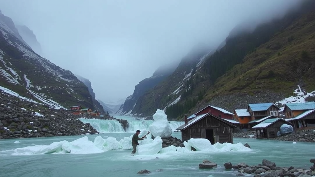
High in the valleys of the Hindu Kush, where more than forty peaks rise above 6,000 meters and glaciers feed the rivers that sustain entire communities, two very different threats descend from the ice. One is sudden and visible: the snow avalanche, a roaring mass of snow that can bury roads, homes, and families within minutes. The other is slower to form but no less devastating: the glacial lake outburst flood, or GLOF, which occurs when a lake dammed by ice or loose moraine suddenly bursts and sends a torrent of water, sediment, and boulders crashing through downstream villages. A new study of communities in District Chitral, in northwestern Pakistan, reveals a troubling mismatch between these two hazards and the way local people perceive them.
The research, published in the journal Natural Hazards, draws on household surveys conducted in ten villages across Chitral, yielding 350 responses from communities with long histories of avalanche and GLOF exposure. The villages surveyed, including Garam Chasma, the Kalash Valley, Reshun, Booni, Arkari, Sonoghur, Yarkhun, and Mastuj, were selected in consultation with humanitarian organizations such as the Aga Khan Agency for Habitat, Secours Islamique France, and the Aga Khan Rural Support Organization, all of which had documented hazard activity in the area. Because village-level population data were unavailable, the team used non-probability sampling, combining field surveys with digital forms to reach a broad cross-section of households.
The physical backdrop to the study is one of rapid cryospheric change. Remote-sensing analyses indicate that glaciers in Chitral lost roughly 816 square kilometers, about 30.8 percent of their glacierized area, between 1992 and 2022. Over the same period, the number of glacial lakes in the region grew from 101 to 162, including 31 classified as Potentially Dangerous Glacial Lakes, six of which lie within Chitral itself. Across High Mountain Asia more broadly, glaciers lost mass at an average rate of 0.19 meters of water equivalent per year between 2000 and 2016, while the number and volume of glacial lakes worldwide have increased substantially since 1990. Regional Himalayan temperatures are rising by 0.15 to 0.60 degrees Celsius per decade, a pace that exceeds the global average.
The consequences of these changes are not abstract. At least 20 GLOF events have been documented in Pakistan’s Himalayan region over the past seven decades, causing loss of life and extensive damage to infrastructure, agricultural land, and forests. The 2015 GLOF in the Reshun Valley of Upper Chitral caused damages estimated at around 15 million dollars. During the 2023 seasonal floods and GLOF event in District Chitral, 282 homes, 38 roads, and 39 bridges were severely damaged, while approximately 335 acres of cropland and 37,350 kilograms of wheat straw were destroyed. Around 80 water supply schemes and 90 irrigation channels were also affected. Avalanches tell an equally grim story: across eight countries in High Mountain Asia, more than 3,131 deaths have been recorded from 681 snow and ice avalanche events, with Afghanistan, India, and Nepal bearing the heaviest tolls.
To understand how these hazards affect daily life, the researchers asked respondents about damage to livelihoods and infrastructure. The results show that while livestock losses were relatively minor, with only 7 percent of respondents reporting animals lost, the effects on agriculture and infrastructure were substantial. Fifty-five percent of respondents reported damage to their agricultural land and crops, with productivity losses ranging from 25 to 75 percent. Two-thirds reported disruptions to transportation and communication networks, and 59 percent reported impacts on tourism, an increasingly important source of income in the Kalash valleys and elsewhere. Around 41 percent of respondents said they had been forced to move temporarily because of the recurring hazards.
Infrastructure damage was even more widespread. Ninety percent of respondents reported damage to their water supply, a figure the authors attribute to the region’s dependence on mountain springs, which are highly vulnerable to hazards originating high in the catchments. Most communities rely on a single water source, and the existing infrastructure is old and fragile. Eighty-six percent reported damage to roads, a vulnerability compounded by Chitral’s topography, where roads and bridges run alongside seasonal watercourses known locally as nullahs that channel floodwaters directly into the transport network. Twenty percent reported damage to residential buildings, often located near nullahs or steep slopes in the absence of a comprehensive urban development plan, while public buildings were least affected at 11 percent.
Recovery, the study found, is painfully slow. The majority of damaged structures took nine months or more to repair or rebuild, a delay the researchers link to Chitral’s harsh weather, which narrows the window for construction, and to the time required to coordinate financial and technical resources among public and private agencies. Restoration of transportation networks and essential services generally took six months or longer, and around 40 percent of respondents said it took more than a week to restore basic services after a disaster. Pipe rehabilitation for water systems is particularly slow because of material shortages. These prolonged recovery times ripple outward: transportation disruptions kept students from school, and unsafe buildings forced closures that hampered academic progress.
The most striking findings, however, concern perception. When asked which hazard worried them more, 57 percent of respondents identified avalanches as the greater concern for their community. Respondents rated avalanche severity higher, with 29 percent calling it very high, while 42 and 35 percent rated GLOF severity as very low and low respectively. Fifty-two percent rated the frequency trend of avalanches as very high, while perceived GLOF frequency was generally lower. A paired-samples t-test comparing perceptions of the two hazards across six indicators confirmed the pattern: for five of the six indicators, the differences were statistically significant at p less than 0.001. Respondents considered GLOFs significantly less often when planning outdoor activities, perceived them as less likely to occur, regarded them as less frequent in recent years, rated their consequences as less severe, and saw less need for protective measures. Only perceptions of controllability did not differ, with both hazards viewed as largely beyond human influence.
This perception gap matters because perceived risk strongly shapes preparedness, resource allocation, and adaptive behavior. Communities tend to prioritize hazards they experience frequently, even when less frequent hazards carry greater potential consequences, a pattern documented in previous disaster research in Pakistan and across the Hindu Kush Himalaya. The authors attribute the gap to cultural differences, varying levels of awareness, and the historical frequency of each hazard, factors that collectively steer funding and attention away from GLOF-related preventive measures. Yet climate change is expected to increase both the formation of glacial lakes and the likelihood of outburst floods, meaning the hazard that residents fear least may be the one growing fastest.
The study’s authors argue that closing this gap requires more than technical hazard mapping. They call for strengthening early warning systems, investing in climate-resilient infrastructure, improving irrigation and transportation networks, and, crucially, involving local communities in decision-making and resilience planning so that local knowledge informs risk management. They also acknowledge limitations: the survey reflects individual perceptions rather than measured hazard exposure, participation among women and older residents was limited by resources and cultural restrictions, and the findings may not generalize to other valleys. Future research, they suggest, should examine the spatial relationship between hazard and perception and track how evolving glacier dynamics reshape community preparedness over time. For now, the message from Chitral is clear: the dangers people watch for are not always the ones most likely to strike next.
Subject of Research: Community risk perceptions and impacts of snow avalanches and glacial lake outburst floods in Chitral, Pakistan
Article Title: Cryospheric risks in the Himalayan region: impacts and community perceptions on snow avalanches and GLOFs in Chitral, Pakistan
Article References: Abrar, S. U., Rana, I. A., Altaf, S., & Siddiqui, M. I. (2026). Cryospheric risks in the Himalayan region: impacts and community perceptions on snow avalanches and GLOFs in Chitral, Pakistan. Natural Hazards, 122(20), Article 645. https://doi.org/10.1007/s11069-026-08414-0
Image Credits: AI Generated
DOI: 10.1007/s11069-026-08414-0
Keywords: GLOFs, snow avalanches, Chitral, Hindu Kush, risk perception, glacier retreat, climate change, disaster risk reduction, Pakistan, community resilience, infrastructure damage, mountain hazards
Cite Scienmag News
Courtney Benton. (September 22, 2026). Avalanches Loom Large, but Hidden Floods Threaten Pakistan’s Mountain Villages. Scienmag. https://scienmag.com/avalanches-loom-large-but-hidden-floods-threaten-pakistans-mountain-villages/
Courtney Benton. "Avalanches Loom Large, but Hidden Floods Threaten Pakistan’s Mountain Villages." Scienmag, 22 September 2026, https://scienmag.com/avalanches-loom-large-but-hidden-floods-threaten-pakistans-mountain-villages/. Accessed 22 September 2026.
Courtney Benton. "Avalanches Loom Large, but Hidden Floods Threaten Pakistan’s Mountain Villages." Scienmag. September 22, 2026. https://scienmag.com/avalanches-loom-large-but-hidden-floods-threaten-pakistans-mountain-villages/


