

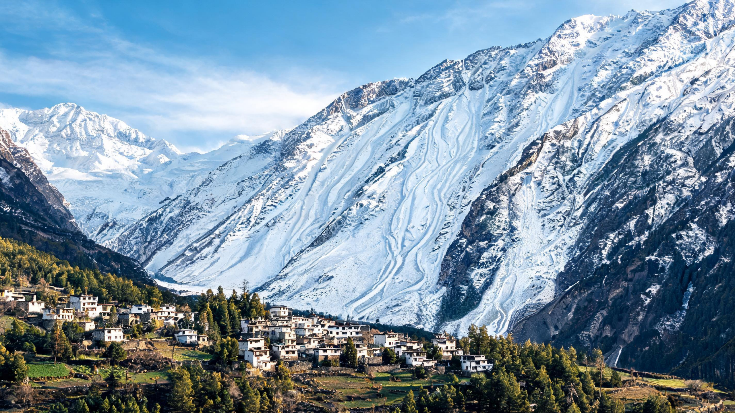
On February 28, 2025, a snow avalanche struck a Border Roads Organisation camp near Mana Village in Uttarakhand, India, killing workers, injuring others and damaging temporary infrastructure. The camp sits at roughly 3,200 metres above sea level near the India–China border, where steep slopes, glaciers, snow-covered terrain and rapidly changing winter conditions combine to create a highly exposed environment. A new study examines the event through two complementary lenses: the shape of the landscape and the short-term atmospheric conditions that preceded the avalanche. Rather than claiming to reconstruct the exact failure mechanism, the researchers identify terrain that is naturally predisposed to avalanche release and describe the regional weather and snow conditions associated with the event. Their analysis points to a familiar but difficult hazard pattern in the high Himalayas: a snowpack can become increasingly vulnerable when heavy new accumulation is followed by abrupt thermal changes. The findings offer a framework for improving hazard awareness around settlements, roads and infrastructure in a region where detailed avalanche records and field observations remain scarce.
The study’s first task was to map potential release areas, or PRAs—slopes where the terrain is capable of allowing unstable snow to begin moving. The researchers used an Object-Based Image Segmentation approach, or OBIS, with topographic information derived from an ALOS PALSAR digital elevation model. Unlike a simple pixel-by-pixel classification, object-based segmentation groups neighbouring terrain elements according to their spatial characteristics. This allows a mapped area to reflect coherent changes in slope and aspect rather than treating every image pixel as an isolated measurement. The resulting zones are susceptibility maps, not forecasts. They indicate terrain predisposition but do not calculate the probability, timing, size, runout distance or speed of a future avalanche. That distinction is important because an area can be capable of releasing snow without doing so during a particular storm, while a seemingly similar slope may behave differently depending on snow structure, wind loading and recent weather.
Several terrain variables governed the mapping. Slope angle is central because most slab avalanches begin on slopes between about 30 and 45 degrees, although avalanches can occur on gentler or steeper ground. The analysis therefore selected terrain within the 30-to-45-degree range as a starting condition. Aspect was also included because it controls exposure to sunlight and influences how snow accumulates and transforms. In the Northern Hemisphere, north-facing slopes generally receive less solar radiation, allowing colder and potentially weaker snow layers to persist under some conditions. Curvature helped distinguish concave hollows from convex ridges, while the Vector Ruggedness Measure described three-dimensional terrain complexity. Areas with very high ruggedness or strongly varying plan curvature were excluded because gullies, ridges and exposed rock faces are less likely to support a continuous, deep snow layer. Isolated candidate areas smaller than 600 square metres were also removed from the map.
The researchers gave changes in aspect twice the weight assigned to slope during segmentation, because aspect variation was considered especially useful for separating individual potential release areas. They then classified the mapped areas according to whether they overlapped forested terrain. The thresholds and weighting scheme were not invented for this single avalanche: they came from an earlier Himalayan framework validated with avalanche inventories, field observations and historical records in the Kullu region. The method was transferred to Mana because both locations include high-elevation, snow-dominated and glaciated landscapes. In Mana, recent field observations and the documented February 2025 avalanche provided qualitative support for the mapped patterns, while earlier reported avalanche locations in the wider area offered additional context. However, the authors stress that validation at Mana itself is limited, especially because the analysis centres on one documented event rather than a long sequence of avalanches.
To investigate conditions around the avalanche, the study examined six variables for February 2025: air temperature, snow depth, snowfall, maximum radiative temperature, minimum radiative temperature and soil temperature in the upper 10 centimetres. The data came from FLDAS, a gridded land-data assimilation system, and were processed with Python and Xarray after spatial averaging across the available grid cells. The products have a spatial resolution of about one kilometre, which makes them useful for describing broad regional conditions but too coarse to represent the fine-scale weather differences created by Himalayan ridges, gullies and individual avalanche paths. The researchers therefore interpret the meteorological record as evidence of regional snowpack preconditioning, not as a direct measurement of what happened at the precise release point. In particular, the dataset did not provide the high-resolution wind observations needed to assess how drifting snow may have loaded one slope more heavily than another.
The February record showed a steady rise in several avalanche-relevant measures during the first three weeks of the month, followed by a sharper increase after February 25. Snowfall rose strongly, suggesting fresh loading of the existing snowpack. Snow depth also increased, adding mass and gravitational stress to layers that may already have been weak. Air temperature and soil temperature rose as well, while minimum and maximum radiative temperatures varied. These changes matter because snow is not a static material. Fresh snow can bury older weak layers and increase the load above them. Warming can alter the bonds between snow grains, encourage partial melting or increase liquid water within the pack. Radiative cooling and subsequent warming can promote repeated cycles of snow metamorphism. At the snow–ground interface, warmer conditions may also affect friction and water content. Together, these processes can reduce the difference between the stress imposed on a snow layer and the strength available to resist failure.
The pattern is therefore consistent with a period of heightened snowpack instability before February 28, but it does not prove exactly how the avalanche began. The study cannot classify the event as a dry slab, wet slab, loose-snow or glide avalanche because investigators lacked field measurements of the crown geometry, failure layer and snow stratigraphy. There were also no direct observations of wind transport, slab thickness or snow stability at the release area. Those missing data are particularly significant in Himalayan terrain, where wind can redistribute snow across ridges and deposit thick slabs in sheltered start zones. The authors describe the observed weather as a preconditioning environment rather than a confirmed trigger. This cautious interpretation separates what the data support from what remains unknown: rising temperatures, increasing snowfall and changing surface-energy conditions were associated with instability, but the physical release mechanism cannot be established from regional gridded data alone.
The Mana analysis has practical implications because susceptibility maps can guide decisions even when they cannot predict an avalanche hour by hour. Potential release areas can be considered when siting camps, roads, buildings and other infrastructure, while starting-zone measures such as snow-supporting barriers may be evaluated where conditions and engineering access permit. Combining the maps with real-time snowfall and temperature observations could help authorities identify periods when naturally susceptible slopes deserve closer attention or temporary restrictions. The approach is particularly relevant in data-scarce mountain regions, where long historical inventories and dense monitoring networks are uncommon. Yet the researchers emphasize that their map should not be used as an operational warning system. A more complete system would require local weather stations, wind measurements, repeat snow-depth surveys, snowpit observations, stability tests and physically based snowpack models. It would also need long-term records to determine whether February 2025 was unusual compared with local climate conditions. The study’s central message is not that one map can eliminate avalanche risk, but that terrain intelligence and short-term monitoring can be combined to make exposure more visible. For Mana Village and similar Himalayan communities, that combination could support climate-resilient planning, faster warnings and better-informed decisions before unstable snow turns into a disaster.
A useful distinction in interpreting the study is the difference between susceptibility, hazard and risk. Susceptibility describes the physical tendency of a slope to produce an avalanche under suitable conditions; it does not indicate whether snow is currently unstable. Hazard additionally depends on the likelihood and timing of an event, while risk incorporates the people, buildings, roads and other assets that could be affected. At Mana, these dimensions overlap because infrastructure and workers are situated within a steep, snow-dominated landscape. A susceptibility map can therefore support planning and surveillance, but it cannot by itself determine when an evacuation or closure is warranted.
The choice of a digital elevation model is important for a second reason: topography controls both avalanche initiation and the way an avalanche may travel. Elevation data can reveal slope steepness, orientation, curvature and surface ruggedness, but the mapped terrain is still a representation of the ground at a particular spatial resolution. Small gullies, cornices, wind-loaded pockets and abrupt transitions between snow and exposed rock may be poorly resolved. These features can influence where snow accumulates and how released snow is channelled. Consequently, a mapped potential release area should be treated as part of a broader terrain interpretation rather than as an exact boundary separating safe and unsafe ground.
The study also illustrates why event analysis benefits from combining observations that operate on different timescales. A terrain map changes slowly and can be prepared before winter, whereas snowfall, temperature and snow depth can change over hours or days. Their combination can help distinguish persistent geographical predisposition from temporary escalation in conditions. For operational use, this framework would be strengthened by repeated satellite observations, local measurements and systematic documentation of avalanche activity. Such records could test whether the mapped areas repeatedly coincide with observed releases, reveal how snow cover evolves between events and improve understanding of how regional meteorological signals translate into slope-scale conditions. This is especially valuable in the Himalayas, where sparse observations make it difficult to compare individual events with a reliable local baseline.
Subject of Research: Avalanche susceptibility and short-term meteorological conditions at Mana Village
Article Title: Avalanche susceptibility mapping and event scale meteorological analysis of the Mana Village avalanche
Article References: Bansal, J. K., Goswami, A., & Agarwal, S. (2026). Avalanche susceptibility mapping and event scale meteorological analysis of the Mana Village avalanche. Discover Geoscience, 4(1), Article 335. https://doi.org/10.1007/s44288-026-00705-0
Image Credits: AI Generated
DOI: 10.1007/s44288-026-00705-0
Keywords: avalanches, Mana Village, Indian Himalayas, snowpack stability, remote sensing, OBIS mapping, geospatial analysis, extreme weather, Avalanche, susceptibility, mapping, event
Cite Scienmag News
Scienmag. (August 28, 2026). Mapping the Himalayan Slopes Behind Mana Village’s Avalanche Risk. https://scienmag.com/mapping-the-himalayan-slopes-behind-mana-villages-avalanche-risk/
Scienmag. "Mapping the Himalayan Slopes Behind Mana Village’s Avalanche Risk." Scienmag, 28 August 2026, https://scienmag.com/mapping-the-himalayan-slopes-behind-mana-villages-avalanche-risk/. Accessed 28 August 2026.
Scienmag. "Mapping the Himalayan Slopes Behind Mana Village’s Avalanche Risk." Scienmag. August 28, 2026. https://scienmag.com/mapping-the-himalayan-slopes-behind-mana-villages-avalanche-risk/


