In the rapidly evolving field of environmental science, breakthroughs in water resource management are critical, particularly in arid regions where water scarcity poses significant threats to ecosystems and human livelihoods. A cutting-edge study recently published in Environmental Earth Sciences by Alshehri, Abdalla, Abdelkareem, and colleagues pioneers a comprehensive approach to water resources modeling in Wadi Numan, a key basin located in Western Saudi Arabia. This research uniquely integrates remote sensing technologies with Geographic Information System (GIS)-based multi-criteria analysis to offer granular and actionable insights into sustainable water management in this water-stressed region.
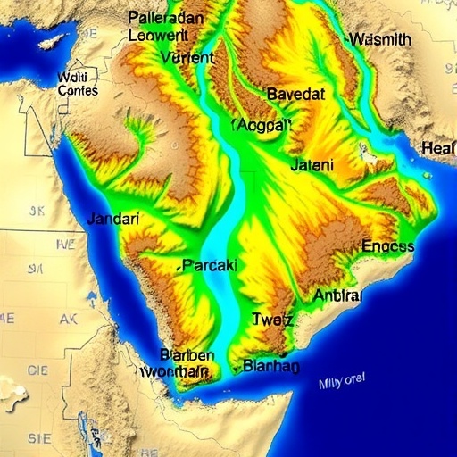
Wadi Numan, characterized by its complex topography and semi-arid climate, represents a critical hotspot for groundwater depletion and surface water variability. The study’s employment of satellite remote sensing provides a macroscopic lens, capturing diverse data sets ranging from land surface temperature, vegetation indices, to rainfall patterns. These remote observations are paramount, as they allow for temporal and spatial variations in hydrological phenomena to be analyzed without the constraints of ground-based measurements, which are often sparse and difficult to obtain in such harsh terrains.
Moreover, the innovative integration with a GIS-based multi-criteria framework enables the researchers to layer and analyze various environmental and socio-economic factors that influence water availability. This methodological synergy transcends traditional hydrological modeling by incorporating variables such as soil type, land use, slope, and population pressure, facilitating a more holistic understanding of water resource dynamics. The GIS model processes these multifaceted data layers, employing criteria weighting to prioritize areas of high water scarcity and vulnerability.
One of the study’s significant contributions lies in its ability to generate precise spatial identification of groundwater recharge zones and runoff potential within the Wadi Numan basin. Identifying recharge zones is paramount for managing aquifer sustainability, given the region’s reliance on groundwater for agricultural and domestic use. By aligning satellite imagery data with terrain and soil characteristics, the researchers have effectively mapped zones where infiltration is maximized, highlighting strategic areas for conservation interventions.
The research also addresses the challenges of water demand forecasting by overlaying spatial patterns of population growth and agricultural expansion. Saudi Arabia’s arid environment necessitates strict water stewardship, and by predicting demand hotspots, the model empowers policymakers to implement targeted water rationing and infrastructural improvements. This foresight is invaluable in optimizing resource allocation under changing climatic conditions and demographic shifts.
Critically, the study underscores the transformative potential of remote sensing in real-time water resource monitoring. With continual advancements in satellite sensor capabilities, data layers such as evapotranspiration rates and soil moisture content are reliably captured, offering dynamic inputs for models. This temporal dimension not only refines accuracy but also supports adaptive management strategies, enabling quick responses to drought events or seasonal fluctuations.
Another pivotal dimension explored by the authors is the multi-criteria decision-making (MCDM) process embedded within the GIS environment. By utilizing this approach, multiple scenarios can be simulated to evaluate trade-offs between competing land uses and water demands. This is particularly relevant for Wadi Numan, where urban expansion, agricultural needs, and conservation efforts vie for control over scarce water resources.
Through their integrated approach, the researchers have illuminated the pressing necessity of interdisciplinary collaboration to tackle complex environmental challenges. The amalgamation of geospatial technology, hydrological science, and decision analytics within this study sets a benchmark for similar water-scarce regions worldwide. It offers a replicable blueprint for harnessing big data and spatial analysis for sustainable water governance.
The study also touches on the implications of climate change, noting that increasing temperatures and changing precipitation patterns in the Arabian Peninsula could exacerbate water scarcity. The modeling framework is designed to incorporate climate projections, thereby equipping resource managers with foresight into how extreme weather events and long-term shifts might impact water availability and quality.
In scrutinizing soil erosion and sediment transport within the Wadi Numan ecosystem, the research contributes additional layers of understanding regarding land degradation processes influencing hydrological cycles. Sediment accumulation in water bodies reduces their storage capacity and disrupts natural filtration processes, hence integrating these factors into the multi-criteria model enhances the robustness of water resource assessments.
The granular precision achieved through remote sensing allows for differentiation between ephemeral streams and perennial water courses, a crucial distinction in arid environments. Such detailed hydrological mapping aids in designing infrastructure such as reservoirs and catchment basins, promoting efficient collection and storage of scarce rainfall.
Importantly, the authors highlight the socio-economic dimensions of their findings, emphasizing how equitable water distribution can be informed by their spatially explicit models. By identifying marginalized communities with critical water deficits, targeted interventions can be prioritized to ensure water security for vulnerable populations, aligning with broader sustainable development goals.
In conclusion, this study represents a monumental stride forward in the application of advanced earth observation technologies and spatial analytics for environmental management. Its innovative fusion of remote sensing data with GIS-based multi-criteria analysis delivers an integrated toolset capable of transforming water resource planning in arid regions like Wadi Numan. This research not only augments scientific understanding but also delivers practical solutions for policymakers striving to balance ecological sustainability with human needs under extreme environmental constraints. The methodologies and insights presented are poised to serve as a valuable reference point for future water resource modeling efforts globally.
Subject of Research:
Water resources modeling using remote sensing and GIS-based multi-criteria analysis in an arid basin
Article Title:
Water resources modeling in Wadi Numan, Western Saudi Arabia using remote sensing and GIS-based multi-criteria
Article References:
Alshehri, F., Abdalla, F., Abdelkareem, M. et al. Water resources modeling in Wadi Numan, Western Saudi Arabia using remote sensing and GIS-based multi-criteria. Environmental Earth Sciences 85, 83 (2026). https://doi.org/10.1007/s12665-025-12763-7
Image Credits: AI Generated
DOI:
https://doi.org/10.1007/s12665-025-12763-7
