In recent years, the changing landscape of urban areas has drawn considerable attention from researchers and policymakers alike. Among the most pressing issues is the phenomenon of land use change and its implications for the proliferation of slum areas. A cutting-edge study conducted by Mistri, Mandal, and Haldar focuses on this critical issue in the municipalities of Purba Medinipur, India. Their research leverages geospatial techniques to analyze the evolving dynamics of land use and the corresponding impact on slum development, shedding light on a complex interplay between urban planning, socioeconomic factors, and environmental conditions.
Land use change is often driven by a variety of factors, including economic development, population growth, and governmental policies. In Purba Medinipur, rapid urbanization has escalated the demand for land, resulting in altered land use patterns. The researchers employed advanced geospatial tools to map these changes over time, aiming to provide an empirical foundation for understanding how different areas within the municipality are transitioning from agricultural or undeveloped land to urban centers. The implications of these transformations are profound, particularly for vulnerable populations who often find themselves displaced or marginalized.
One of the critical insights from this research is the relationship between land use changes and the emergence of slums. As urban areas expand, there is a tendency for lower-income communities to settle in the fringes of cities where infrastructure is underdeveloped. This tendency fosters the growth of slums characterized by inadequate housing, poor sanitation, and limited access to basic services. The study highlights how the lack of coherent urban planning exacerbates these issues, resulting in a cycle of poverty that is difficult to break.
In addition to mapping land use changes, the researchers have also examined the socioeconomic implications of these transformations. Their findings underscore the disparities between wealthier and poorer neighborhoods in Purba Medinipur. While affluent areas experience growth and development, slum areas face persistent neglect. This gap not only perpetuates inequality but also endangers the well-being of the communities living under precarious conditions. The geospatial analysis provides a visual representation of these inequities, revealing the urgent need for targeted interventions aimed at improving the living conditions of marginalized populations.
Moreover, the study considers the role of environmental factors in influencing land use dynamics. Changes in climate patterns, such as increased flooding or prolonged droughts, can significantly impact land availability and usage. As these environmental stressors become more pronounced, they can lead to a higher frequency of displacement among communities living on the brink of urban expansion. The researchers advocate for sustainable land management practices that incorporate environmental considerations into urban planning. This approach could mitigate the adverse effects of climate change and promote resilience among vulnerable communities.
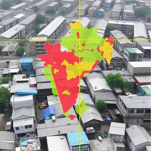
Another key aspect of the research is its focus on the methodologies employed. The use of geospatial analysis tools, including Geographic Information Systems (GIS), allows for sophisticated mapping and analysis of land use patterns. This technology offers a means of visualizing complex data sets, enabling researchers to identify trends and correlations that may not be visible through traditional research methods. By harnessing these technological advancements, the authors have established a robust framework for future studies examining urbanization and its implications.
The implications of this research extend beyond academic inquiry; they resonate with policymakers and urban planners tasked with shaping the future of cities. The study provides empirical evidence that can inform decision-making processes, emphasizing the need for integrated approaches to urban development. Policymakers are urged to consider the cascading effects of land use changes on social equity and environmental sustainability. Addressing these issues holistically is essential for fostering inclusive urban growth that benefits all residents, particularly those in vulnerable situations.
Furthermore, the research draws attention to the importance of community engagement in urban planning efforts. The voices of slum dwellers often go unheard in decision-making processes, leading to policies that overlook their needs. The authors advocate for participatory planning processes that involve local communities in discussions about land use and development. Such engagement not only empowers residents but also ensures that urban growth is aligned with the aspirations and realities of diverse populations.
Beyond local implications, the findings of this study resonate with broader global trends in urbanization. As cities around the world grapple with similar issues of land use change and slum development, insights from Purba Medinipur can contribute to the discourse on sustainable urbanization. The lessons learned through this research can be applied to other contexts, fostering a richer understanding of the dynamics at play in rapidly urbanizing areas worldwide.
In conclusion, the research conducted by Mistri, Mandal, and Haldar provides a comprehensive analysis of land use change and its impact on slum dynamics in Purba Medinipur’s municipalities. Through innovative geospatial techniques, the authors shed light on the intricate connections between urban growth, socioeconomic disparities, and environmental challenges. Their findings underscore the urgent need for informed policy interventions and community engagement to promote equitable and sustainable urban futures. Addressing the complexities of land use change is not only essential for the well-being of marginalized populations but also for the resilience of cities as they navigate the challenges of the 21st century.
The significance of this research lies not only in its local relevance but also in its contributions to global discussions on urbanization and social equity. Through a multidimensional approach that considers geographic, socioeconomic, and environmental factors, this study paves the way for future inquiries and actions aimed at fostering sustainable urban environments. The implications of land use change resonate far beyond the borders of Purba Medinipur, making this research a vital contribution to the larger body of knowledge on urban studies and planning.
Subject of Research: The relationship between land use change and slum dynamics in Purba Medinipur’s municipalities through a geospatial perspective.
Article Title: Land use change and slum dynamics in purba medinipur’s municipalities: a geospatial perspective.
Article References:
Mistri, K., Mandal, P., Haldar, S. et al. Land use change and slum dynamics in purba medinipur’s municipalities: a geospatial perspective.
Discov Cities 2, 109 (2025). https://doi.org/10.1007/s44327-025-00153-4
Image Credits: AI Generated
DOI: https://doi.org/10.1007/s44327-025-00153-4
Keywords: Land use change, slum dynamics, geospatial analysis, urbanization, socioeconomic disparities, environmental factors, sustainable development.
