In the wake of the tragic events that unfolded during the 2024 Noto Peninsula earthquake and tsunami, researchers have been able to leverage large-scale geolocation data to provide unprecedented insights into evacuation behaviors of the residents. This monumental work, led by Makinoshima, F., Yotsui, S., and Sato, S., offers vital information that could influence future emergency responses to natural disasters. With the advent of new technologies, analyzing the movements and behaviors of individuals during such crises can lead to improved safety measures and protocols.
The 2024 Noto Peninsula disaster was a significant seismic event that resulted in extensive damage and loss of life. As the scientific community reviews the data, understanding how individuals reacted is paramount to enhancing disaster preparedness strategies. The authors utilized large-scale geolocation data, indicating a revolutionary method for tracking the movements of the populace in real-time during the crisis. This technology can reveal patterns and behaviors that were previously difficult to analyze in such detail.
The analysis put forth in the study focuses on various factors that influenced evacuation decisions—such as the proximity to the epicenter, personal circumstances, infrastructure resilience, and access to resources. By dissecting this data, the researchers were able to identify key trends, distinguishing between those who evacuated promptly and those who hesitated in the face of immediate danger. Understanding these trends is not merely academic; it carries real-world implications for developing better emergency response frameworks.
One striking observation from the geolocation data was the discrepancy in evacuation times among different demographics. The study highlighted that young adults were more likely to prioritize immediate evacuation compared to older individuals, who often displayed more caution and delay. Such insights are critical for emergency planners who must consider the diverse population dynamics when crafting evacuation strategies in real-time.
Moreover, the data revealed that individuals in urban areas with more developed infrastructures exhibited significantly different behaviors compared to those in rural settings. Urban residents tended to follow marked routes and official guidance during evacuations, reflecting a level of preparedness that may have stemmed from prior drills or education. In contrast, rural residents often relied on instinct and local knowledge when deciding how to respond to the crisis.
Furthermore, researchers noted that access to communication tools, such as mobile smartphones, played a crucial role in the decision-making process during the evacuation. Many individuals reported that alerts and warnings issued via official apps significantly influenced their choices. This underscores the growing importance of technology in crisis scenarios, where timely information can mean the difference between safety and peril.
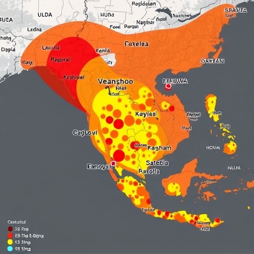
Analyzing the data allowed researchers to generate a real-time map of evacuation flows, illustrating the heavy traffic patterns emerging from affected areas. This analysis provided a visual representation of the crisis, showcasing not just the routes taken but also highlighting potential bottlenecks and areas where response teams could face challenges. Such layouts will be invaluable for future disaster management professionals seeking to optimize evacuation routes and protocols.
In addition to mapping evacuation strategies, the researchers also addressed the psychological aspects influencing evacuation behavior. They found that the perceived severity of the threat often dictated how quickly individuals reacted. Those who felt confident in the infrastructure’s ability to withstand such events tended to linger longer, while a heightened sense of fear prompted quicker movements. This psychological element is critical for designing communication and messaging strategies that resonate effectively during crises.
Further analysis of the geolocation data revealed the long-term effects of the disaster on evacuation patterns. By studying the post-evacuation behaviors, researchers discovered shifts in return rates and the patterns of reconstruction. Many individuals who had been displaced returned to their homes, but the pace of recovery varied widely, influenced by factors like government assistance, individual resilience, and community support structures.
The academic community is now tasked with understanding the broader implications of these findings. Researchers are looking to expand their analysis beyond the Noto Peninsula to compare evacuation behaviors across different geographical locations and disaster types. This comparative research could lead to a more nuanced understanding of human behavior in crisis scenarios, ultimately contributing to the development of universal evacuation models.
As the world witnesses the frequency and intensity of natural disasters rise, research like that conducted by Makinoshima and colleagues becomes increasingly crucial. Their innovative use of geolocation data definitely marks a significant step forward in the field of disaster management and resilience studies. It highlights how technology can facilitate a better understanding of human behaviors and decision-making processes during emergencies, ensuring that future disaster preparedness efforts are as effective as possible.
In conclusion, this study not only provides an in-depth look into the evacuation behavior following the Noto Peninsula earthquake and tsunami, but it also sets the stage for a paradigm shift in how global communities prepare for and respond to natural disasters. By continuing to study and understand the nuances of human response in such situations, we can hope to develop more effective strategies that prioritize safety and resilience in the face of adversity.
Subject of Research: Evacuation behavior during the 2024 Noto Peninsula earthquake and tsunami.
Article Title: Large-scale geolocation data reveal evacuation behaviour during the 2024 Noto Peninsula earthquake and tsunami.
Article References: Makinoshima, F., Yotsui, S., Sato, S. et al. Large-scale geolocation data reveal evacuation behaviour during the 2024 Noto Peninsula earthquake and tsunami. Commun Earth Environ 6, 891 (2025). https://doi.org/10.1038/s43247-025-02819-8
Image Credits: AI Generated
DOI: https://doi.org/10.1038/s43247-025-02819-8
Keywords: Disaster management, geolocation data, evacuation behavior, Noto Peninsula earthquake, tsunami response, emergency preparedness, technology in disasters, human behavior response.
